Drone Photography
Aerial imagery that shows the whole picture, from site investigation to final handover.
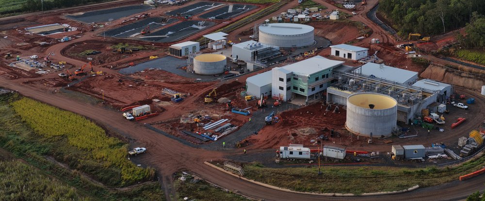
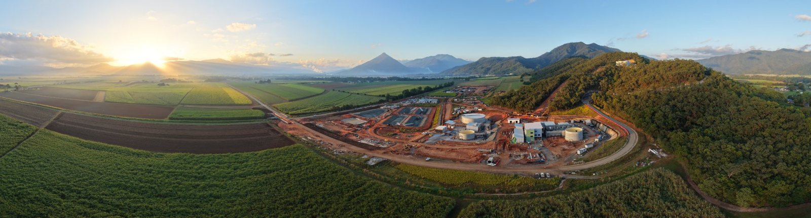
Drone photography is the perfect way to get a view of your site that you just don't get from the ground. Track construction progress, inspect hard-to-reach areas and record the condition of your assets.
Glenn, a civil engineer and CASA-licensed remote pilot (RePL), flies all our drone work. We also capture high-quality aerial images and video for project reports, stakeholder updates and before-and-after records.
What's included
- Construction progress photography & video
- Regular progress capture (weekly or monthly)
- Pre-construction site imagery
- Site context & surrounds imagery
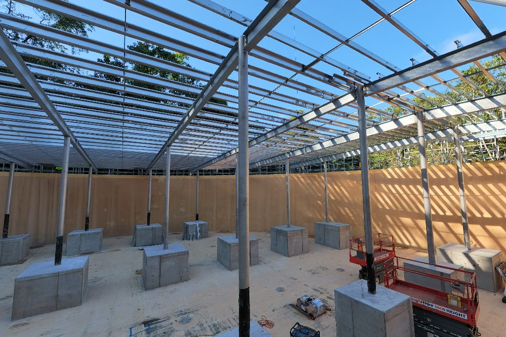
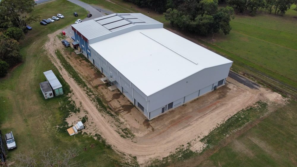
- Roof, structure & asset inspections
- Hard-to-reach and unsafe-access inspections
- 360° walk-throughs
- Asset condition reports
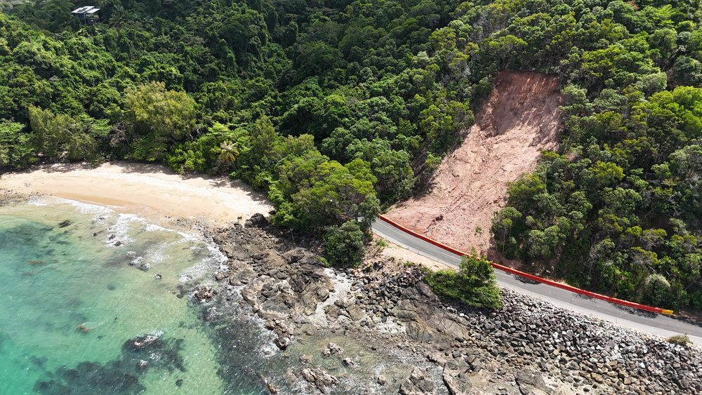
- Storm, flood & cyclone damage assessments
- Landslip & slope monitoring
- Defect & dilapidation records
- Before & after documentation
- Funding & grant reporting imagery
- Completed project showcase imagery
Examples of our work